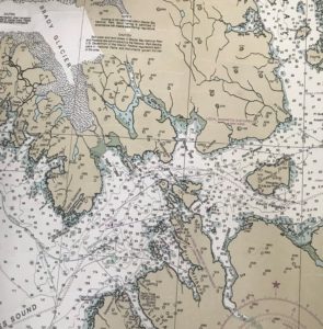
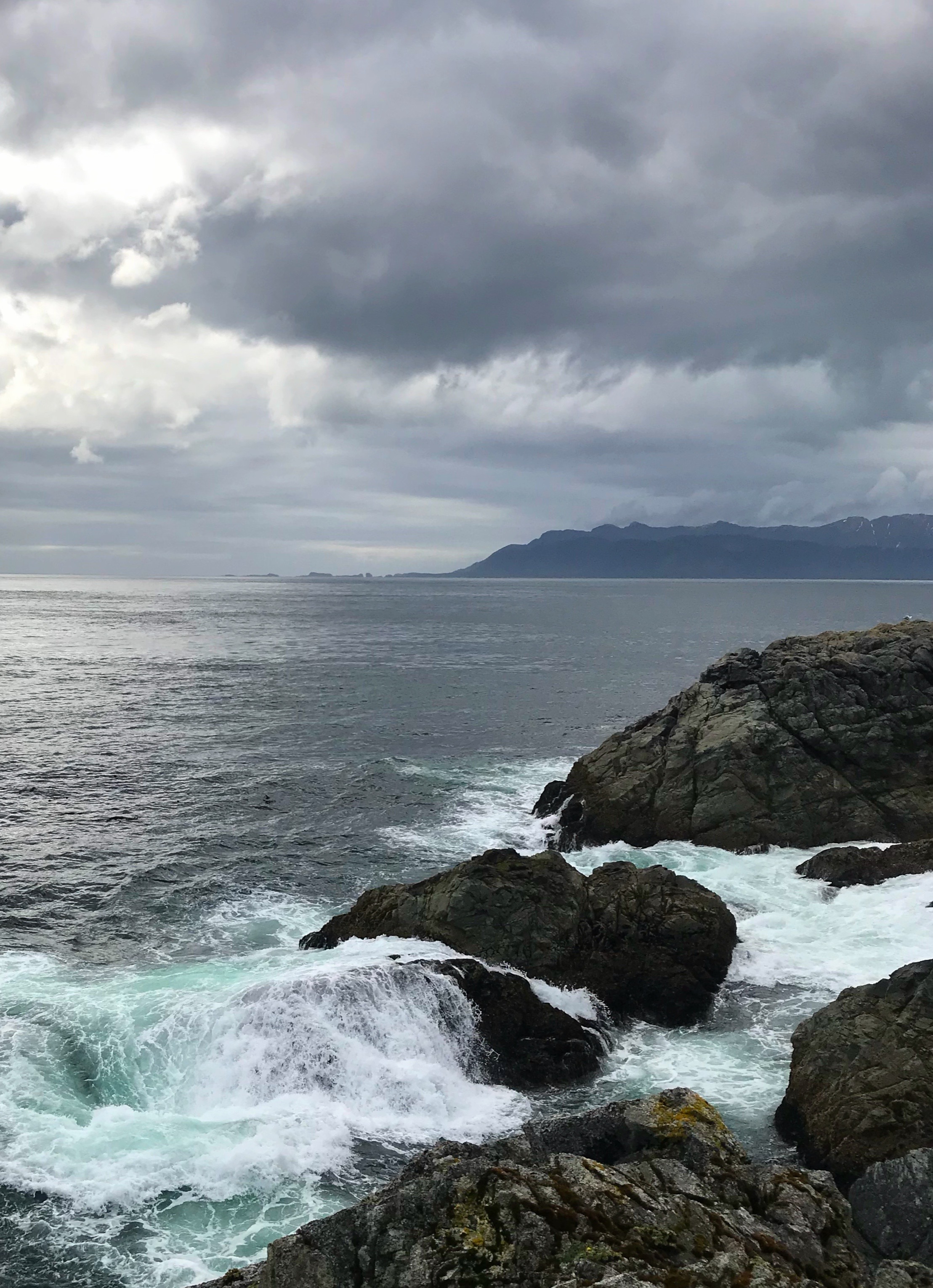
What a surprise to discover George Island hiding at the intersection between Icy Strait and Cross Sound!
I had never heard of George Island, even though I’d passed it a number of times on the M/V Curlew, the USFWS research vessel that hauled people and equipment to Icy Bay farther west along the Gulf of Alaska.

Icy Strait: Glacier Bay is in top right corner. Cross Sound is bottom left.
Cross Sound funnels the Pacific Ocean into Icy Strait. Icy Strait provides passage to the northern end of Southeast Alaska.
It’s only 118 km (73 miles) as the raven flies from Juneau. Of course, it’s much farther by boat: 194 km (119 miles), following the saltwater jigsaw puzzle of SE Alaska islands & channels.
I’ll cover various cool SE AK (Southeast Alaska) destinations and adventures in future posts. For now, it’s enough to know that George Island was one of the stops as Guest Hosts on our second 1-week cruise, UnCruise’s Northern Passages & Glacier Bay itinerary.
On the evening before we headed to George Island, I thanked Capt. Don Johnson for showing me yet another new place in Southeast Alaska.
“We’ll see how the weather is in the morning,” he answered.
He didn’t say this lightly. In December 1943, Lt. Schwamm of the U.S. Navy requested a seaworthy vessel to supply his base on George Island because his boats couldn’t handle the seas that were “so violent and the water so rough in Cross Sound, South Inian Pass, and Icy Straights”.
The tides are predictable. Winds, waves, rain, often change rapidly in this high energy ecosystem. The currents in Inian Pass are faster than any other place in Southeast Alaska. This energy mixes the saltwater, bringing food into the water column, a rich feeding “ground” for marine organisms ranging from the barnacles on the rocks to the 40-ton humpback whales feeding on krill and herring. Sea birds are everywhere. Sea otters float on their backs like slightly potbellied very hairy youngsters floating on inflatable matresses with their toes in the air and constantly grooming to be sure that their hair is mussed up perfectly. I feel like sea otters with money could be one of the biggest markets for mirrors worldwide… and for selfie sticks.
We had a rare, very calm-water day at this point where the Pacific Ocean funnels down to the narrow Inian Passage & Icy Strait. If you draw a line straight west across the curving surface of the Earth along George Island’s latitude of 58 degrees 13 minutes North, it will cross Kodiak Island & Bristol Bay in Alaska, then see nothing but open ocean until it reaches the Kamchatka Peninsula in Russia.
This is pretty close to the same track on which storms born in the Aleutian Islands travel as they spin their way across the Gulf of Alaska to make landfall on the west coast of North America, including Southeast Alaska.
My thanks to Capt. Don Johnson & the excellent folks of @UnCruise Adventures vessel, M/V Wilderness Explorer, for teaching me a new lost place.
A great joy for me.
Stay tuned for more posts of the brilliantly colored tidepools, rocky pillars & white-foam waves from this nearly-impossible-to-get-to-place, along with its fascinating history as a Naval gun emplacement to protect the U.S. from attacks in World War II.
Don’t confuse this George Island with famous St. George Island in the Pribilofs of the Bering Sea.
